11550ha
Forests & ecosystems
under improved
stewardship
under improved
stewardship

— habitat for threatened and range‑restricted Andean birdlife, including the Royal Cinclodes (Cinclodes aricomae).
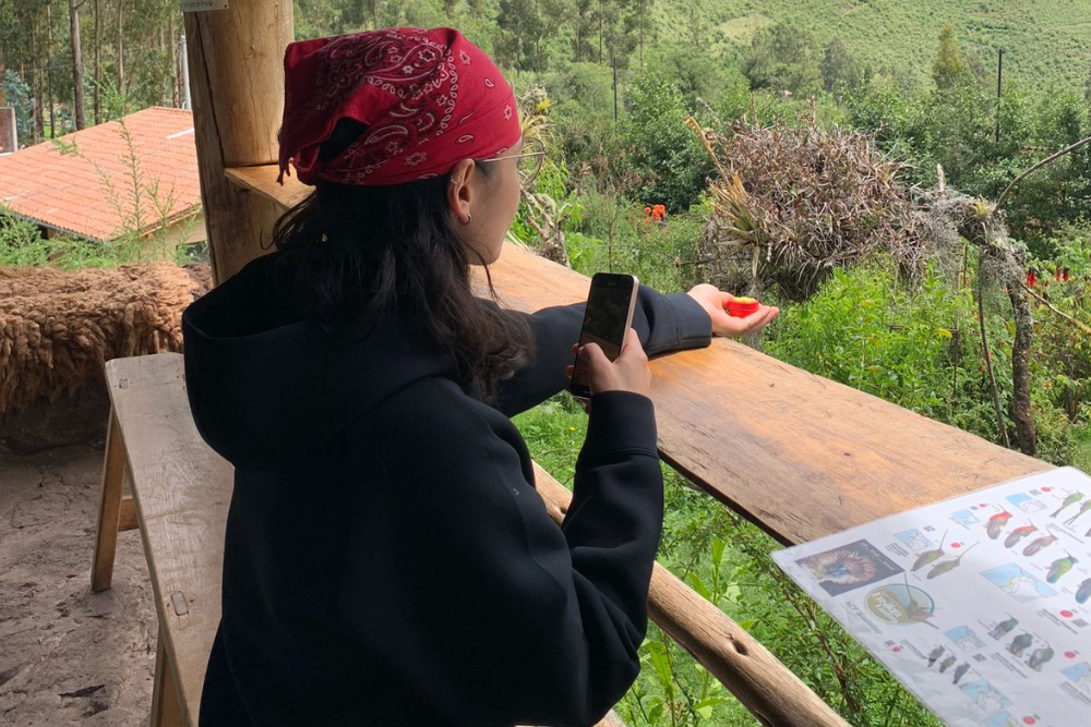
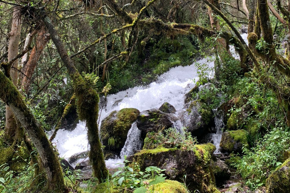
• Territory: Yanahuara, Urubamba (Cusco) — Sacred Valley landscape
• Conservation status reference: Recognized as the Área de Conservación Privada “Mantanay” (RM 073‑2010‑MINAM)
• Platform type: 36‑month structured stewardship platform (governance + restoration + managed visitation + ESG/MRV)
• Promise: 550 ha under improved stewardship, strengthened local execution capacity, and governance to manage low‑impact visitation and reinvestment
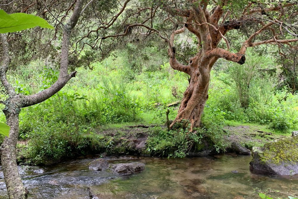
Polylepis forests are among the most threatened high‑Andean ecosystems and are essential for biodiversity and watershed function. Mantanay focuses on building a measurable stewardship platform where conservation outcomes depend on three fundamentals: governance capacity, restoration action, and carrying capacity management — ensuring that visitation supports, not pressures, ecosystem integrity.
Mantanay is designed as an integrated stewardship system that protects ecosystems while enabling sustainable, controlled activation:
• Governance‑first execution: clear roles, accountability, and reinvestment mechanisms
• Active restoration: pilot restoration plots to accelerate ecosystem recovery
• Master & Tourism Plan: low‑impact visitor strategy aligned with conservation priorities
• Carrying capacity & visitor protocols: controls to protect biodiversity and reduce reputational risk
• Time‑series ESG/MRV: baseline + comparable reporting to demonstrate performance over time
• Phase I (Months 1–12) — Foundation & de‑risking: governance, enabling infrastructure, capacity building, ESG baseline
• Phase II (Months 13–24) — Operational consolidation: controlled activation, monitoring, pilots, positioning
• Phase III (Months 25–36) — Stabilization & replication readiness: stabilization, comparative ESG reporting, reinvestment, scale design
• 550 ha under improved stewardship & governance
• 5 ha active restoration delivered
• Master & Tourism Plan delivered
• Basic infrastructure implemented
• Carrying capacity + visitor protocols adopted and operational
• Royal Cinclodes (Cinclodes aricomae): a high‑Andean Polylepis specialist of global conservation concern
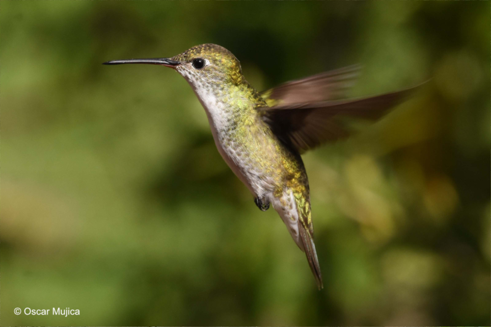
• Sword‑billed Hummingbird (Ensifera ensifera): an iconic Andean species present across a broad range, strengthening the area’s value for awareness and education
We are seeking partners to strengthen stewardship outcomes and establish durable conservation financing mechanisms:
• Donors & funds: fund Phase I (governance, restoration pilots, visitor protocols, ESG baseline)
• Technical partners: biodiversity monitoring, MRV/ESG reporting, GIS/remote sensing
• Volunteers: proposal writing, indicators and MRV thinking, communications and outreach